
We are a multi-disciplinary consultancy firm specializing in the delivery of innovative solutions for sustainable and integrated development. We work with the private sector, the government and NGOs through the provision of Geospatial Analysis, Impact Assessment and Assets Management services to support the implementation of projects in different development sectors including Water, Agriculture, Environment and Energy.
Since its incorporation in 2017, PANAXIS has strive to become a premier
consulting firm providing essential services in the implementation
of projects in different development sectors.
As a multi-disciplinary consultancy group, we participate in engineering
disciplines, water, agriculture, energy, conservation and environment among
other infrastructural development areas.
In close collaboration with our clients, we are continually enhancing our
presence in East, Central and largely the Sub-Saharan Africa through the
delivery of expert services, and economically viable and sustainable
solutions to development projects.
Our Services
We offer advisory, strategy and policy formulation on a wide range of development
projects in engineering, water resources, utility, environment, agricultural
monitoring and renewable energy.
Our approach involve working closely with our clients and project stakeholders
to identify challenges, develop and deliver tailored practical solutions,
aligning the project with the intended goals and objetives.
...
We work with the private sector, governments, development partners,
sector to plan, design, and implement projects that are resilient,
efficient, and aligned with local and global development goals.
We support organizations and communities in addressing complex
development and infrastructure challenges through integrated,
practical, and future-oriented approaches.
Our multidisciplinary team combines technical expertise, policy
insight, and field experience to deliver high-quality
services across the full project lifecycle, including
feasibility studies, master planning, detailed design,
implementation support, monitoring, and capacity
building. We apply international best practices while
ensuring solutions are adapted to local contexts and priorities.
In agriculture and land resources, we focus on sustainable
production systems, land-use planning, irrigation development,
and climate-resilient practices that enhance food security,
resource efficiency, and rural livelihoods. Our water resources
services encompass integrated water resources management, water
supply and sanitation, irrigation and drainage, flood risk
management, and watershed protection.
Our work in utility networks, renewable energy, and techno
logical infrastructure supports the development of efficient,
resilient, and smart systems, including energy generation and
distribution, water and sanitation networks, transport and
logistics systems, and digital infrastructure. We leverage
modern technologies, geospatial analysis, and data-driven
tools to enable informed decision-making and long-term sustainability.
We collaborate closely with stakeholders to deliver solutions
that are economically viable, sustainable and inclusive,
contributing to national development objectives and global
sustainability goals.
Interested in our services to support your project goals?
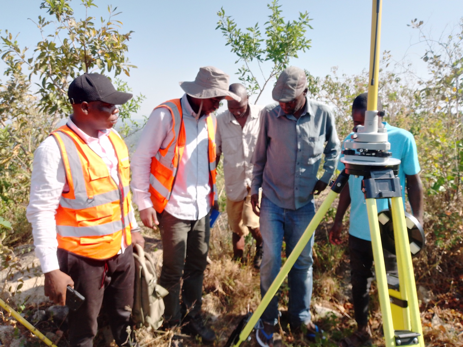
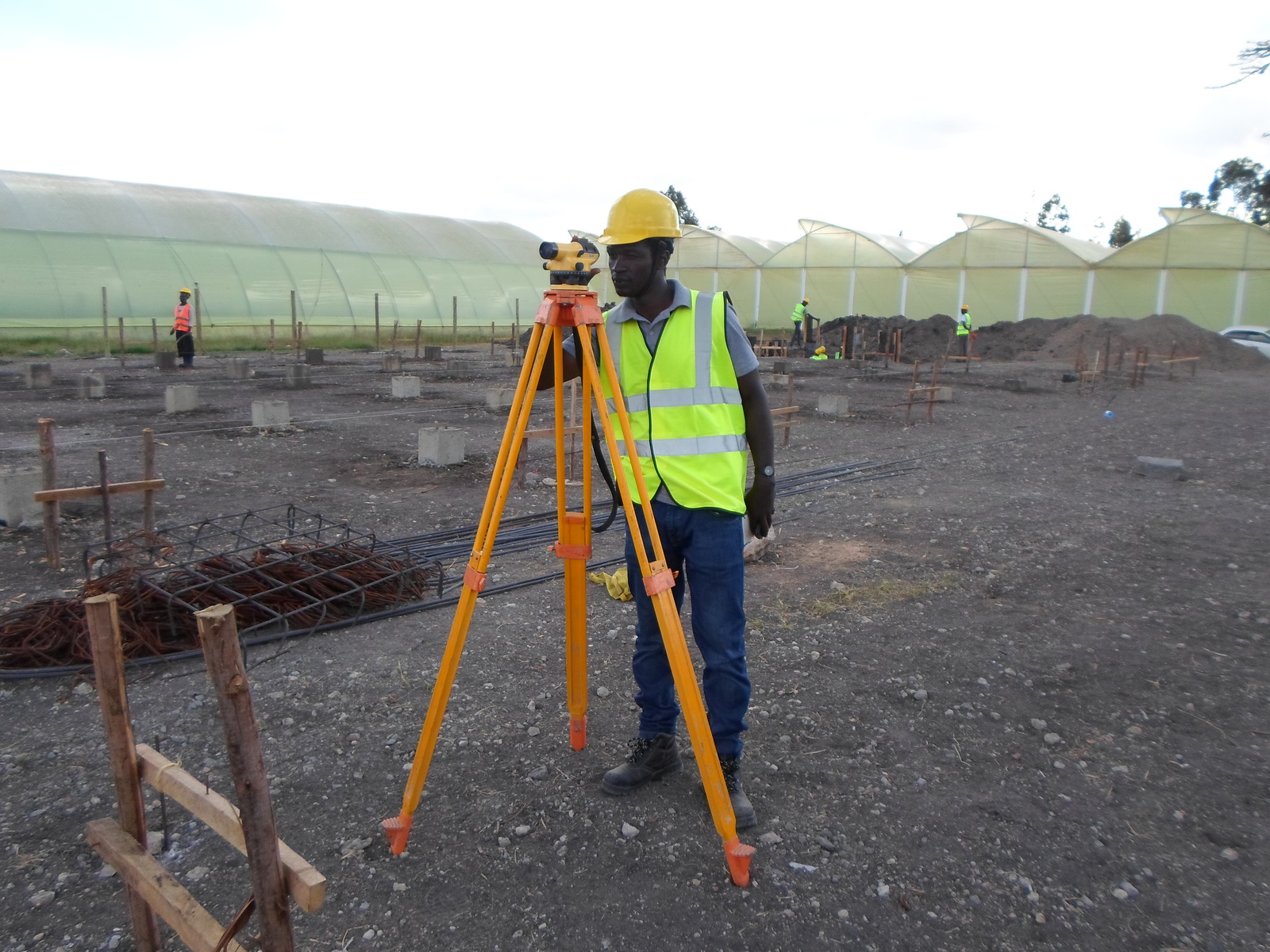
PANAXIS has a dedicated survey team with a wide scope of experience, making us an excellent choice for project baseline surveys, topographic mapping, land use planning, land and engineering surveying. We develop basemaps and 3D CAD models from a variety of datasets such as LiDAR point cloud
Development of digital systems for integration in resource management such as water utilities and
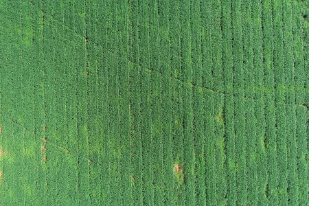
Development of systems to support sustainability in water resource managemnt Our team specializes on the development of water infrastructure and formulation of management framework to ensure utility operations align with short and long term objectives. This is important so as to create a cost-effective and sustainable infrastructure.
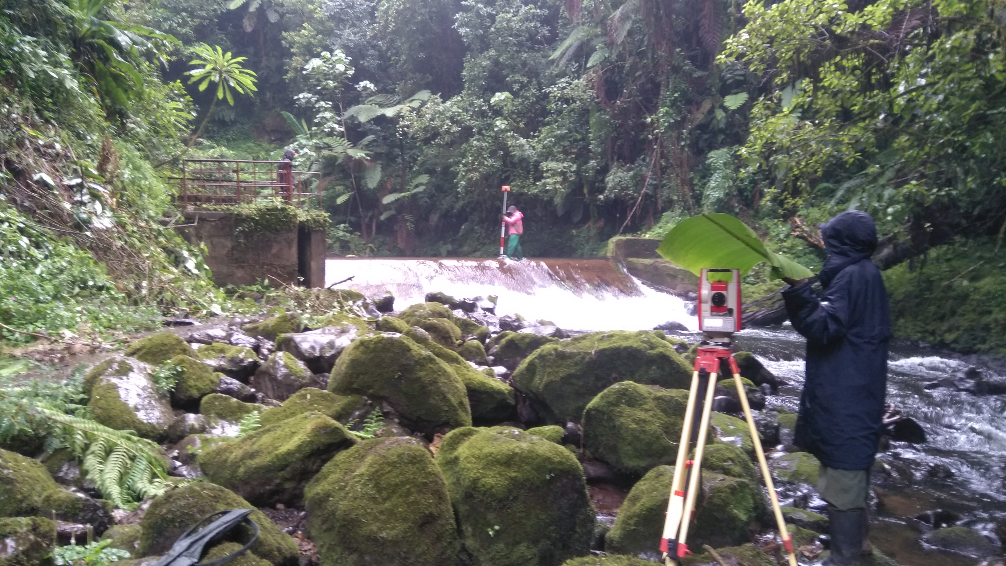
Development of systems to support sustainability in water resource management. We specialize in the development of technological tools such as GIS water and DBMS for the management of the water infrastructure and the formulation of management framework to ensure utility operations align with short and long term objectives. This is important so as to create a cost-effective and sustainable infrastructure.
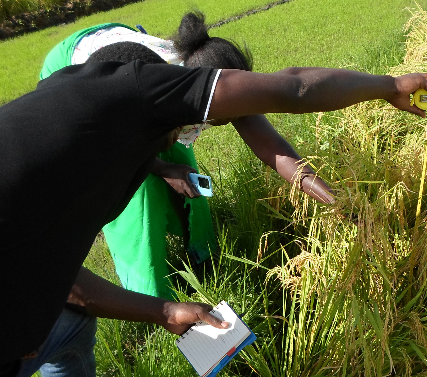
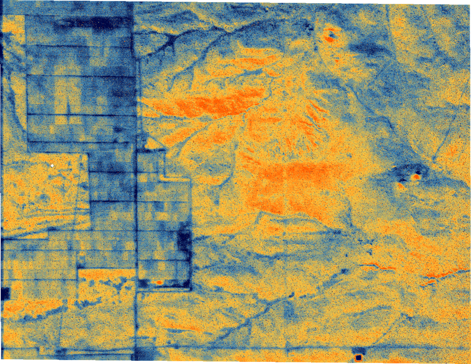
We are utilizing modern earth observation technologies to provide essential services that empower agricultural businesses in addressing persistent challenges and achieving sustainable agriculture. By leveraging GIS & Remote Sensing, we are able to derive invaluable insights that correspond to spatial and temporal variabilities. This combination of technologies enables us to offer solutions that reduce the cost of production. We collect data to perform timeseries and trend analysis to generate meaningful statistics on crop performance and growth conditions. By leveraging these insights, farmers can make informed decisions and optimize resource utilization. Our goal is to provide comprehensive support to farmers in their pursuit of sustainable and efficient agricultural practices.
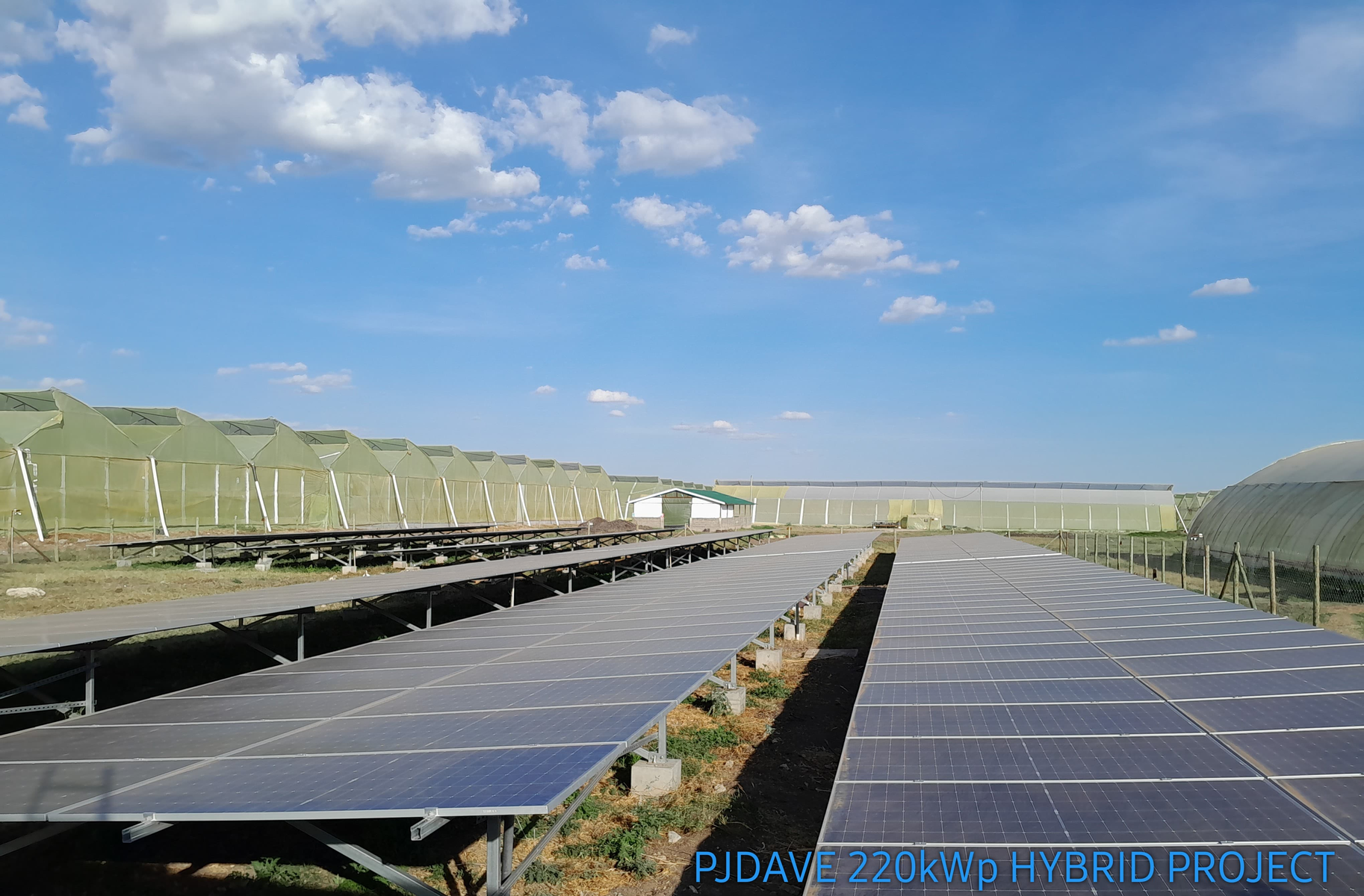
We support communities and private organisations in establishing renewable energy infrastructure such as solar energy, biodiesel. Our highly competent team focus on delivery of tailor made solutions through site mapping & investigation, planning and approvals, community engagement, meteorology and engineering. Our goal is to help our clients build a sustainable energy transition strategy.
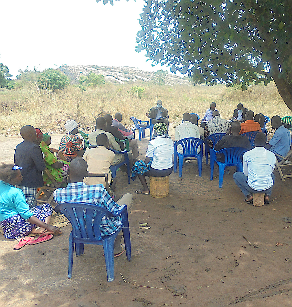
We support development project by working closely with the local community to ensure active participation for consultations and collaboration, and awareness of the benefits. This is essential because it fosters trust, enhances project success, ensuring that solutions are tailored to the community's needs.